Data specialists and humanists create new representations of Danish colonial history
The Danish Royal Library has digitized thousands of maps and images from the colonial era on the former Danish West Indies. A treasure trove of data that can be used to present history in entirely new ways. IT specialists from the IT University and the humanists from the University of Copenhagen are taking on the challenge together.
Business IT DepartmentResearch
Written 10 November, 2016 07:59 by Vibeke Arildsen
This year, the Danish Royal Library has digitized nearly 4,000 maps and images from the colonial era in the former Danish West Indies. The occasion is the upcoming 100-year anniversary of the sale of the islands to the US in 2017. Rather than browsing through the material manually, one can now get a quick overview and do detailed searches on locations, periods and photographs. And with data visualization tools, the story of the former Danish colony can be told in new ways.
"Traditionally, we have examined the images on an individual level. Now we can use the collections in a new way and combine our material with information from national and international databases," says Mette Kia Krabbe Meyer, research librarian at the Royal Library.
Data analysis meets the humanities
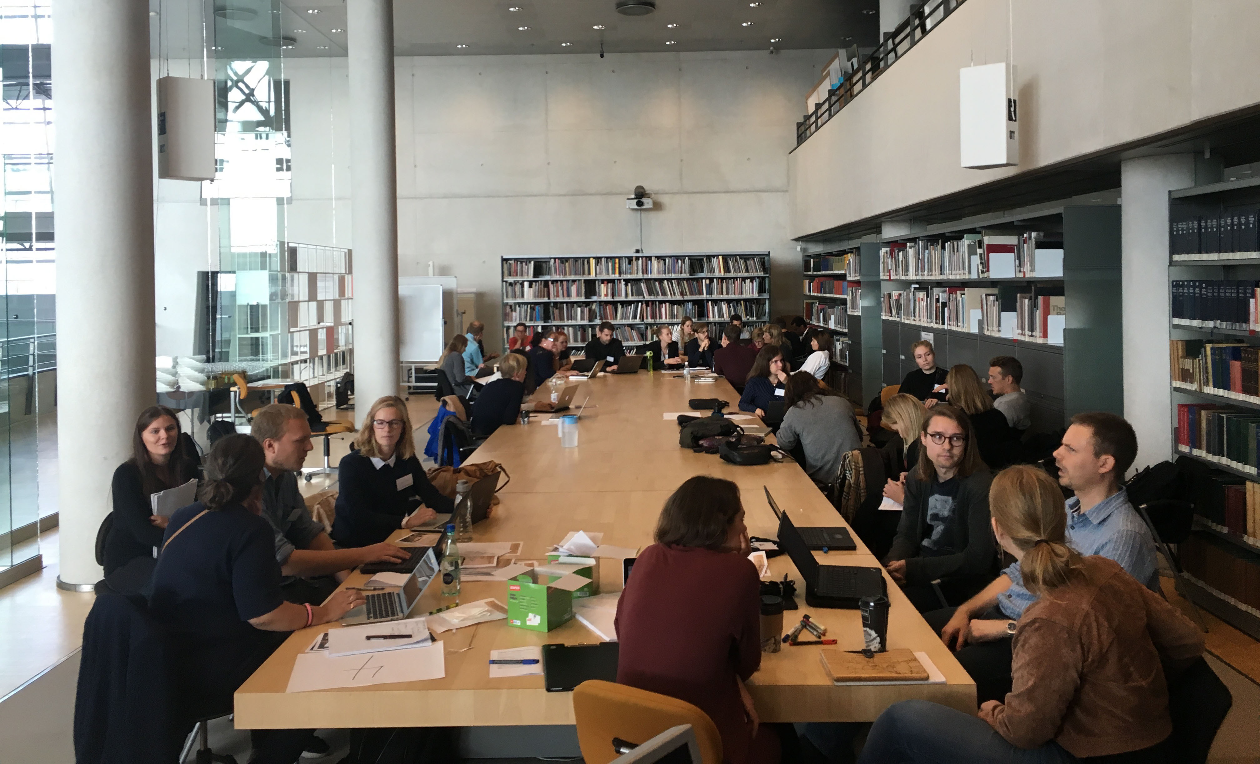
For this reason, the Royal Library, ETHOS Lab at the IT University of Copenhagen and HUMLab at University of Copenhagen are bringing data analysts and humanists together to explore the digitized photos, maps and statistics. This autumn, around 40 students and researchers are meeting at three so-called data prints – intense workdays of exploring and visualizing the data.
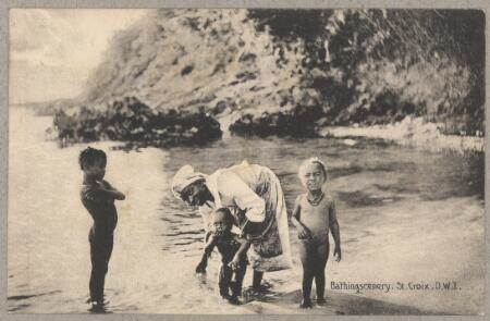
 Photos like this one showing a bathing family in St. Croix have been digitized by the Danish Royal Library.By joining forces, they are able to create visual, digital stories about the Danish West Indies, that are both historically accurate and culturally sensitive, says Michael Hockenhull, manager and researcher at ETHOS Lab.
"We are challenging participants to take a critical approach to the material and relate to its historical heritage. The material usually has a privileged perspective – many of the images come from photo albums, which was a prestige object, for instance if you were a rich and white plantation owner. If you this material stands alone, it tells you one side of things. That’s ok, but participants have to contextualize their presentations of the material," he says.
A sea of plantation owners
This can be done for instance by combining images and data, explains Mette Kia Krabbe Meyer.
"In our portrait collection, we have almost no pictures of the enslaved and their descendants, while we have a sea of governors, plantation owners and other Danes on the islands. We also have maps that were created in connection with the construction of plantations or military defense of the islands against other countries or to resist rebellion among the enslaved. Some participants are visualizing this by comparing the images with census data that shows just how small a part of the population are actually represented in the collection, which some might otherwise think is representational," she says.
Reducing academic boundaries
Michael Hockenhull hopes that the collaboration can help to reduce the academic boundaries between IT and the humanities.
"With this kind of event, we are encouraging interdisciplinarity. Humanists are skilled at source criticism, interpretation and the many pitfalls of historical representation. Those who specialize in data analysis and processing, on the other hand, easily navigate through data to help find patterns and present them in an accessible visual form. Together, they can explore data and use to tell stories in a reflective manner.”

The participants will continue their work in the Royal Library on November 12 and December 10.
Vibeke Arildsen, Press Officer, phone 2555 0447, email viar@itu.dk